Blue Carbon Farming in Baja

Laguna San Ignacio, BCS, Mexico. Member of El Datil coop and red mangrove seeds.

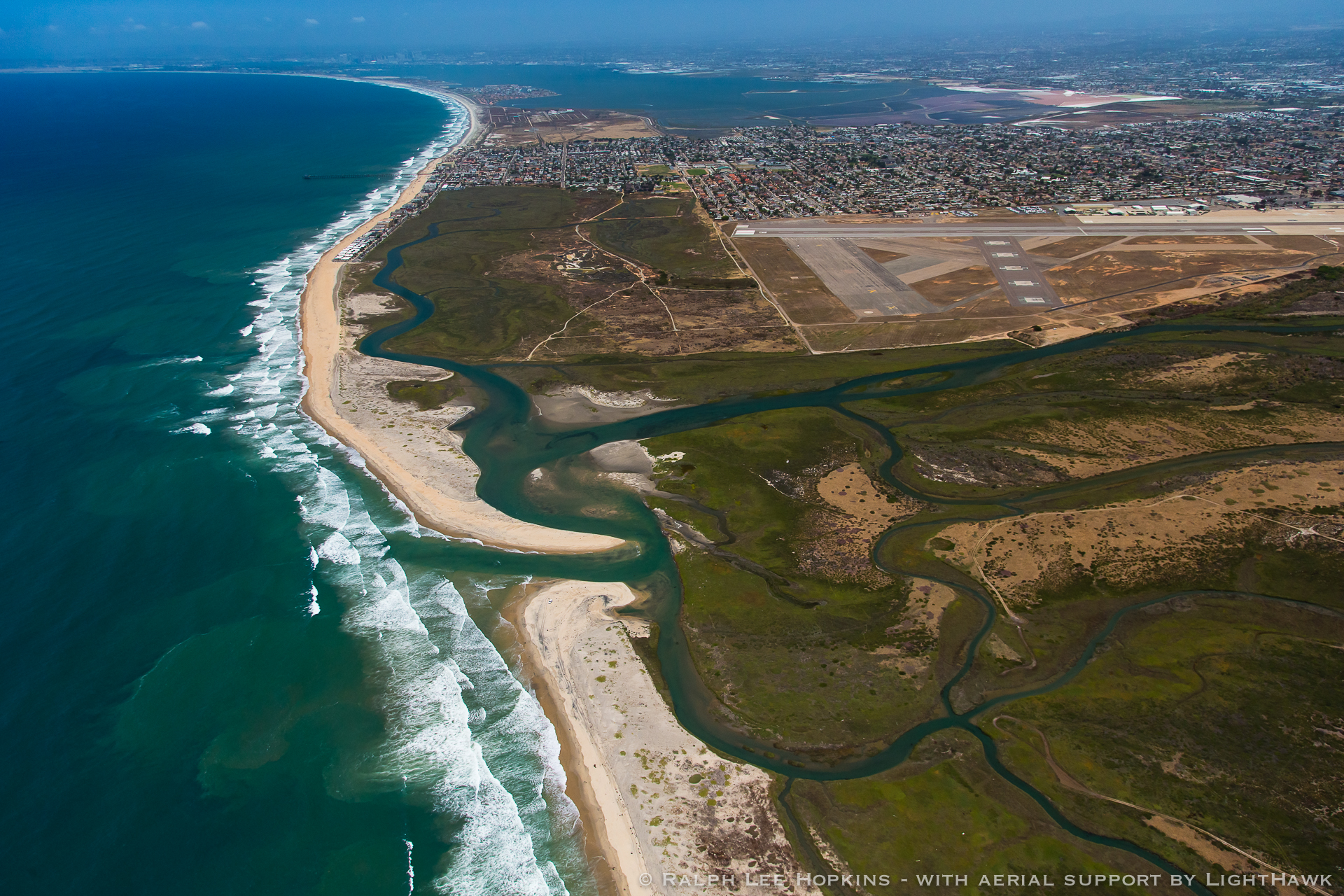
The southern reaches of Laguna San Ignacio in Baja California Sur, Mexico, may be the easiest places on the peninsula to get lost or hopelessly stuck.

Located west of the jutting escarpments, layered peaks, and hidden canyons of the Sierra de Guadalupe are “treacherous sand dunes, salt flats, and mud of a no-man’s land.” Surfers have been passing over these mud, sand, and dusty tracks southward to San Juanico or Scorpion Bay for decades.

“Take the wrong turn and you end up on a 20-mile detour that leads to a salt flat crossing filled with water and mud so thick that even walking is difficult,” I wrote in Saving the Gray Whale back in 2000. In the early 1990s, my wife Emily and I spent a few months living there while carrying out research on gray whale conservation. We got stuck and lost in our 1987 Ford F150 in the Lagoon’s southern salt flats plenty of times.

Today, the gray whale lagoon is part of the 6.2 million-acre federally protected El Vizcaíno Biosphere Reserve, which is also a UNESCO World Heritage site. The remote lagoon is inhabited by salty fishermen and their families, many of whom make their living running whale watching camps during the winter months.

Tourists watch whales as they swim by .Every year gray whales visit Laguna San Ignacio in Baja California Sur, Mexico, to give birth and mate.

This isolated and wild region is also ground zero for an ambitious and innovative effort to help sequester carbon via mangroves, the aquatic plants that line the wetlands and embayments of the central and southern Baja California peninsula and are found among the tropics.

“The mangroves of Baja are unusual because they are desert mangroves and found in only a handful of regions around the world,” says Tannia Frausto, WILDCOAST Climate Change Manager.

Celeste Ortega of WILDCOAST in the mangroves.

Mangroves are a type of blue carbon ecosystem that sequester atmospheric carbon at a rate five times faster than terrestrial forests while storing up to 50 times more carbon than forests on land. They’re of special interest today as we work to reverse the impacts of the past 100 years of releasing excess carbon into the atmosphere. Our coastal ecosystems are incredibly efficient at removing harmful amounts of carbon from the atmosphere and can store it for thousands of years, making these areas key in the fight against climate change.

“If we are to address climate change, it is imperative that we not only reduce emissions globally. We also have to conserve and restore the natural ecosystems that help us sequester carbon and adapt to climate change. In the case of mangroves, these ecosystems protect shorelines against rising seas levels and dangerous chubasco storm surges as well as sequester carbon,” says Frausto.

With the support of SeaTrees, WILDCOAST is working with women in Laguna San Ignacio to plant 40,000 mangroves over 25 acres of tidal zones, creating a habitat suitable for fish, shellfish, wildlife, and adapting to and mitigating climate change. “Mujeres de El Dátil” are trained in mangrove environmental services, seedlings collection, and planting techniques, as well as monitoring and maintenance of restored sites.

“Our collective efforts in the Lagoon provide a clear model for how we can work at the local and global level to address climate change through natural solutions,” says Frausto

It’s all part of a larger project to protect mangrove forests throughout Mexico. Through legal protection and management, WILDCOAST has helped to conserve 38,336 acres of mangrove forests that store 3.5 million tons of carbon, equivalent to the emissions of 2.8 million cars driven in one year. As Frausto points out, it’s a natural solution to tackling climate change — a piece of the puzzle we can all put together now before it’s too late.

 Learn more about WILDCOAST and their plans to expand into other tropical regions. This article orginally appeared in The Inertia.

HOW WILDCOAST WORKS WITH COMMUNITIES

Carrying out conservation programs is challenging at all levels. It requires partnerships and collaboration with government agencies and officials, the private sector and the people in communities who are in and around the ecosystems, wildlife and protected areas that WILDCOAST strives to conserve. 

Scallop divers, Magdalena Baj, Baja California Sur, Mexico. Photo: Miguel Angel de la Cueva

Probably the most important part of the conservation coalitions that advocate for the protection of coastal and marine ecosystems and wildlife are the diverse community members and organizations in coastal communities. 

Working them is essential and rewarding to protecting our coast and ocean. But it is not an end inself. That is because WILDCOAST is not a community development organization. Our mission is to carry out coastal and marine conservation and address climate change through natural solutions. 

We work with communities and local organizations because it is the right thing to do and it is the most effective way to advance conservation. There is no nature protection without community engagement, because people are part of nature everywhere WILDCOAST works. 

Here are some ways that WILDCOAST is working at a community level for nature protection and especially addressing climate change. 

Stewardship

One of the most important elements of conservation for WILDCOAST is the actual on site protection and management or stewardship of the protected areas we work in. To be effective, stewardship requires active local volunteers and organizations to help defend ecosystems and protected areas. 

In La Paz, Baja California Sur, Mexico, Las Guardianas del Conchalito is a group of women who work with WILDCOAST, as well as Mexico’s Protected Area Commission (CONANP), to manage a mangrove reserve called  ”El Conchalito.” 

According to WILDCOAST’s Mangrove Conservation Manager Celeste Ortega, “These local conservationists have helped to install reserve information signs for visitors; painted murals with local artists and carried out really extensive cleanup campaigns.” 

More recently the Guardianas worked with law enforcement authorities to stop the destruction of mangroves by a poacher. The women of Conchalito illustrate the power of local stewardship to protect carbon sequestering mangroves, which combat the effects of climate change and help safeguard their community. 

Education

Working with local communities and especially students on education campaigns is critical in the defense of threatened ecosystems and wildlife. In the case of marine protected areas in California, WILDCOAST, carried out extensive in-field and classroom education programs about marine protected areas to reach the community at large as well as thousands of students. During the pandemic this helped to reduce the people illegally harvesting sea life from fragile tide pools in and around marine protected areas in California. 

One of the ways that WILDCOAST has gone deeper into the education side of things is to recognize the need for additional leadership to help advocate for our coastal areas. That is why we developed the Coastal Leaders Internship program.

 “I am thrilled for the opportunity to continue to work with our local Indigenous students and communities as well as to work for an organization that acknowledges Indigenous land and stewardship practices,” said WILDCOAST’s Jules Jackson. “The Coastal Leaders Internship is an innovative leadership program that provides a teaching platform for both Indigenous Traditional Ecological Knowledge and modern-day environmental conservation, thus enabling students the unique platform to develop their scientific understanding in a way which aligns with their culture and values while providing a pathway for future employment. 

Likewise, wildlife protection is impossible to carry out in rural and remote areas like southern Oaxaca without the involvement and education of local residents, especially in the indigenous coastal communities that help to protect nesting sea turtles. 

“The Oaxacan coast is home to two of the most important beaches in the world for olive ridley nesting,” says Luis Angel Rojas Cruz of WILDCOAST. “We have  educated more than 1,000 children and young people from coastal communities of Chontal and Zapotec origin on the issue of sea turtle conservation including developing outreach material in their native languages. 

As a result, we have noticed that community participation in the conservation of sea turtles has generated a change of consciousness in part of its inhabitants, especially in children and young people.” 

Restoration and Research Partnership for Natural Climate Solutions 

Carrying out natural climate solutions programs to restore coastal wetlands in California and mangrove lagoons in Mexico, requires extensive partnerships and participation through local conservation groups, students as well as academic partnerships with research institutions such as the Scripps Institution of Oceanography and the University of Queensland in Australia. 

To carry out a mangrove restoration project in Laguna San Ignacio, Baja California Sur, Mexico, “WILDCOAST partnered with local residents, especially youth and women’s groups in this remote UNESCO World Heritage Site and protected area,” said Francisco Martinez of WILDCOAST. “The mangrove project provides employment and training opportunities for local residents and helps create a natural defense system against coastal flooding in a region that is routinely hit by hurricanes.”

In California, WILDCOAST, is partnering with local conservation organizations such as the Batiquitos Lagoon Conservancy to restore wetland and riparian habitat in a state marine protected area, and involve local youth in restoration efforts as well. That way there is local buy-in for the project and local investment in supporting its success.

Volunteers at the Batiquitos Lagoon in Carlsbad, CA help plant 100 trees as part of a commitment with San Diego Gas and Electric to plant 10,000 trees in 2021.

Right: Youth groups help remove scattered and submerged trash during an annual Batiquitos Lagoon Cleanup. Left: Students help clear invasives + Arundo plant, making room for local plants to thrive and enhancing the lagoon’s overall ecosystem function. Together, we are helping strengthen the lagoon’s ecosystem services such as recreation, carbon storage, and critical wildlife habitat. 

———————-

To be successful in conservation, local ecosystems and wildlife need all the friends they can get. And that means that for every conservation action taken, a robust coalition of community members and organizations is involved every step of the way. That is because conservation must be a team effort all the way. That is why WILDCOAST will continue its deep partnerships and collaborative work with local communities and vibrant organizations in order to give our coast and ocean as well as our planet a helping hand.

2014 in Review

Here are some stats from my blogging in 2014. With the publication of my new book, Surfing the Border next month, I’ll be a lot busier blogging!!

Here’s an excerpt:

The concert hall at the Sydney Opera House holds 2,700 people. This blog was viewed about 23,000 times in 2014. If it were a concert at Sydney Opera House, it would take about 9 sold-out performances for that many people to see it.

Click here to see the complete report.

WILDCOAST IMPACT 2014

One of the great pleasures of being the Executive Director of WILDCOAST is being able to evaluate our impact each year. And this year was a tremendous year of success. Here are some of our results.

impacts page

Hurricane Marie and Coastal Erosion and Flooding

Surf from Hurricane Marie, a Category 5 hurricane, hit Southern California like a bomb on the afternoon of Tuesday, August 26 and through Thursday August 28. While the focus of the swell was in Orange and LA Counties, beaches in Baja and San Diego County experienced large surf and coastal erosion as well.

Hurricane Marie--a monster storm.

Hurricane Marie–a monster storm.

The Eastern Pacific has seen a very intense and early Hurricane season this year. The reason is extremely warm water around Baja California and Mexico’s Pacific Coastline. You can see the elevated water temps in red in this excellent map below.

Areas with elevated water temps are in red.

Areas with elevated water temps are in red.

As the surf filled in on Wednesday the 27th coastal flooding occurred in Seal Beach and at Pt. Mugu State Beach in Los Angeles County. Homes were impacted in Seal Beach and a historic lifeguard station was destroyed at Pt. Mugu. There was also damage from high waves on Catalina Island.

From the LA Times:

The massive surf sent the historic Cove House training building crumbling to the shore at Point Mugu State Park. It washed away a 25-foot section of breakwater protecting the Anaheim Bay in Seal Beach. Pilings at the Malibu Pier were swept into the ocean, and cargo operations had to be temporarily halted at the Port of Long Beach on Wednesday.

On Catalina Island, the waves “essentially destroyed” White’s Landing Pier and another pier at Camp Fox, said Bob Reid, a spokesman for the Catalina Island Conservancy. The ocean was so clouded with debris and silt Thursday that one of the island’s famed glass-bottom boat tours became a sightseeing outing instead.


Surf damage on Catalina Islands.

Surf damage on Catalina Islands. Photo: LA Times.

Damage on Catalina. Photo: LA Times

Damage on Catalina. Photo: LA Times

catalinadamage

Damage on Catalina. Source LA Times

s

The historic lifeguard headquarters at Pt. Mugu State Beach was destroyed by large waves and coastal flooding.

The historic lifeguard headquarters at Pt. Mugu State Beach was destroyed by large waves and coastal flooding. Photo: LA Times.

Flood damage in Seal Beach.

Flood damage in Seal Beach.

Flood damage in Seal Beach.

Flood damage in Seal Beach.

In Imperial Beach where I live the waves weren’t so large (the storm was focusing wave energy further north) but the strong surf and current resulted in significant coastal erosion. Here are images of the southern end of the beach where there was more erosion that at any time over the past two years.

Berm caused by coastal erosion on August 27, 2014 at the south end of Imperial beach looking northward.

Berm caused by coastal erosion on August 27, 2014 at the south end of Imperial beach looking northward.

IMG_2844

Erosion at the south end of Seacoast Drive in Imperial Beach on August 28, 2014 looking southward toward the mouth of the Tijuana River. This area is a State of California Marine Protected Area as well as fronts the Tijuana Estuary NOAA/FWS Reserve.

Here is a photo of the surf in Imperial Beach by JC Monje that shows the strong swell and why the current and also sand is moving northward. Hurricane swells create a very long longshore current that takes sand from the southern part of the beach and transports it northward where it over time it can end up in Coronado.

Imperial Beach just as Hurricane Marie started hitting on the late afternoon of Tuesday August 26, 2014. Photo: JC Monje

Imperial Beach just as Hurricane Marie started hitting on the late afternoon of Tuesday August 26, 2014. Photo: JC Monje

What the Tijuana Estuary Would Have Looked Like

I’m giving a talk today about the history of conservation in the TJ estuary. Here is what was planned.

20140506-085242.jpg

My New Book: Surfing the Border

Here is the cover of my new forthcoming book, Surfing the Border: Adventures at the Edge of the Ocean. It is a collection of essays and articles I’ve written over the past three years about my adventures and life in California, Mexico and around the world. I’m hoping it will be out this summer if not before. surfbordercover

King Tides and Coastal Flooding in Imperial Beach

Over the past few days in Imperial Beach we’ve had “King Tides” or the highest tides of the year (over 7 feet). The tides caused with larger than average surf (in the 4-8′ range and out of the west) resulted in coastal flooding. The San Diego Union-Tribune  came down to shoot this video and was lucky to have Dr. Bob Guza of the Scripps Institution of Oceanography to explain why the flooding was happening. You can see the U-T video here: http://bcove.me/zyhb25e7

Cortez Street end in Imperial Beach on January 29, 2014.

Cortez Street end in Imperial Beach on January 29, 2014.

floodingIB

The end of Seacoast Drive in Imperial Beach on January 29, 2014.

coastalfloodingguyz_large

Dr. Robert Guza of Scripps Institution of Oceanography talking to a reporter about coastal flooding and king tides on January 30, 2014.

guzateam

Researchers from Scripps Institution of Oceanography monitoring conditions in Imperial Beach on January 30, 2014.

2013 in Review

The WordPress.com stats helper monkeys prepared a 2013 annual report for this blog.

Here’s a report on my top stories of the year for 2013.

.

Click here to see the complete report.

My Home: The Tijuana Estuary and River Mouth MPA and Imperial Beach

Thanks to Ralph Lee Hopkins for sharing this amazing photo of the Tijuana Estuary, Tijuana River Mouth MPA, Imperial Beach and South San Diego Bay Wildlife Refuge. Ralph is an extraordinary photographer and has done a lot to promote the beauty of Baja California.

309_HOPKINS_BAJA13_63648